
فائل:Antigua and Barbuda location map Topographic.png
اس نمائش کا حجم: 521 × 599 پکسلز۔ دیگر تصمیمات: 209 × 240 پکسلز | 417 × 480 پکسلز | 668 × 768 پکسلز | 1,111 × 1,278 پکسلز۔
اصل فائل (1,111 × 1,278 پکسل، فائل کا حجم: 300 کلوبائٹ، MIME قسم: image/png)
خلاصہ
| تفصیل |
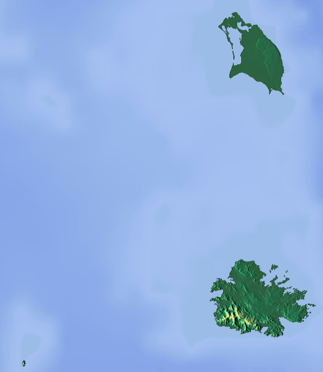
Deutsch: Positionskarte von Antigua und Barbuda. Geographische Begrenzungen der Karte:
English: Location map of Antigua and Barbuda. Geographic limits of the map:
|
| تاریخ | |
| ماخذ | ذاتی کام (backgroung : http://www.maps-for-free.com) |
| مصنف | Dr Brains |
اجازہ کاری
میں اس کام کا کاپی رائٹ ہولڈر ہوں اور اسے مندرجہ ذیل اجازت ناموں کے تحت شائع کیا ہے:

|
Permission is granted to copy, distribute and/or modify this document under the terms of the GNU Free Documentation License, Version 1.2 only as published by the Free Software Foundation; with no Invariant Sections, no Front-Cover Texts, and no Back-Cover Texts. A copy of the license is included in the section entitled GNU Free Documentation License. | فقط 1.2 |
|
|
Permission is granted to copy, distribute and/or modify this document under the terms of the GNU Free Documentation License, Version 1.3 or any later version published by the Free Software Foundation; with no Invariant Sections, no Front-Cover Texts, and no Back-Cover Texts. A copy of the license is included in the section entitled GNU Free Documentation License.
|
آپ حسب منشا اجازت نامہ منتخب کر سکتے ہیں۔
فائل کا تاریخچہ
کسی خاص وقت یا تاریخ میں یہ فائل کیسی نظر آتی تھی، اسے دیکھنے کے لیے اس وقت/تاریخ پر کلک کریں۔
| تاریخ/وقت | تھمب نیل | ابعاد | صارف | تبصرہ | |
|---|---|---|---|---|---|
| رائج الوقت | 16:46، 13 جون 2012ء | | 1,111 × 1,278 (300 کلوبائٹ) | Dr Brains |
روابط
درج ذیل صفحہ اس فائل کو استعمال کر رہا ہے:
فائل کا عالمی استعمال
مندرجہ ذیل ویکیوں میں یہ فائل زیر استعمال ہے:
- ar.wikipedia.org پر استعمال
- ast.wikipedia.org پر استعمال
- be.wikipedia.org پر استعمال
- bg.wikipedia.org پر استعمال
- bn.wikipedia.org پر استعمال
- bs.wikipedia.org پر استعمال
- ceb.wikipedia.org پر استعمال
- cs.wikipedia.org پر استعمال
- el.wikipedia.org پر استعمال
- en.wikipedia.org پر استعمال
- Redonda
- Antigua
- Prickly Pear Island
- Great Bird Island (Antigua and Barbuda)
- Crump Island
- Guiana Island
- Long Island (Antigua and Barbuda)
- Green Island (Antigua and Barbuda)
- Boggy Peak
- Codrington Lagoon
- Pelican Island (Antigua and Barbuda)
- McKinnon's Pond
- Module:Location map/data/Antigua and Barbuda/doc
- Antigua Formation
- Central Plain Group
- Highlands Formation
- List of fossiliferous stratigraphic units in the Caribbean
- Codrington Island
- Hell's Gate Island
- Maiden Island (Antigua and Barbuda)
- 1974 Lesser Antilles earthquake
- Module:Location map/data/Antigua and Barbuda
- User:Ty654/List of earthquakes from 1950-1999 exceeding magnitude 7+
- User:Ty654/List of earthquakes from 1960-1964 exceeding magnitude 6+
- Antigua Naval Dockyard and Related Archaeological Sites
- eo.wikipedia.org پر استعمال
اس فائل کا مزید عالمی استعمال دیکھیے۔