
فائل:Downieville, California, at Main and Commercial St., looking south.jpg
اس نمائش کا حجم: 800 × 600 پکسلز۔ دیگر تصمیمات: 320 × 240 پکسلز | 640 × 480 پکسلز | 1,024 × 768 پکسلز۔
اصل فائل (1,024 × 768 پکسل، فائل کا حجم: 203 کلوبائٹ، MIME قسم: image/jpeg)
|
This is an image of a place or building that is listed on the National Register of Historic Places in the United States of America. Its reference number is 12000401. |
خلاصہ
| تفصیل |
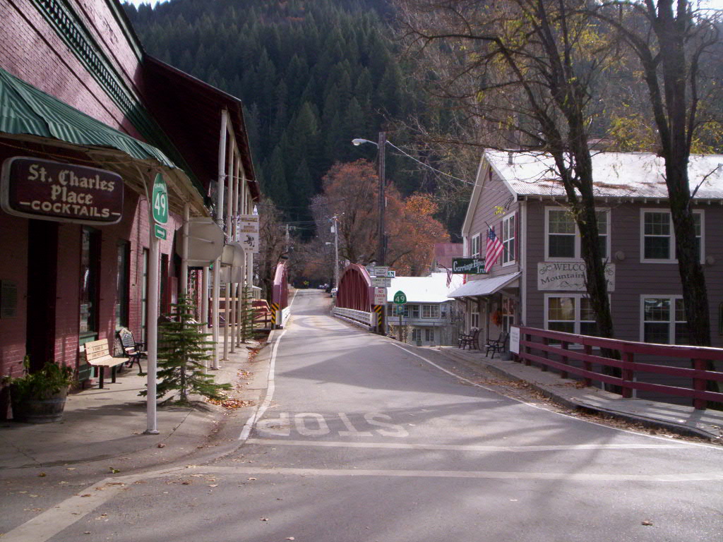
English: Jersey Bridge, Highway 49, and the town of Downieville, California.
|
| تاریخ | |
| ماخذ |
Taken during a visit to a community Thanksgiving event |
| مصنف | Nonaeroterraqueous |
| Object location | | View this and other nearby images on: OpenStreetMap |
|---|
| This file is made available under the Creative Commons CC0 1.0 Universal Public Domain Dedication. | |
| The person who associated a work with this deed has dedicated the work to the public domain by waiving all of their rights to the work worldwide under copyright law, including all related and neighboring rights, to the extent allowed by law. You can copy, modify, distribute and perform the work, even for commercial purposes, all without asking permission.
|
اجازہ کاری
میں اس تخلیقی کام کے حقوق کا مالک ہوں اور اسے مندرجہ ذیل اجازت نامے کے تحت شائع کرتا ہوں:
| This file is made available under the Creative Commons CC0 1.0 Universal Public Domain Dedication. | |
| The person who associated a work with this deed has dedicated the work to the public domain by waiving all of their rights to the work worldwide under copyright law, including all related and neighboring rights, to the extent allowed by law. You can copy, modify, distribute and perform the work, even for commercial purposes, all without asking permission.
|
فائل کا تاریخچہ
کسی خاص وقت یا تاریخ میں یہ فائل کیسی نظر آتی تھی، اسے دیکھنے کے لیے اس وقت/تاریخ پر کلک کریں۔
| تاریخ/وقت | تھمب نیل | ابعاد | صارف | تبصرہ | |
|---|---|---|---|---|---|
| رائج الوقت | 21:44، 28 اپریل 2012ء | | 1,024 × 768 (203 کلوبائٹ) | Nonaeroterraqueous | {{subst:Upload marker added by en.wp UW}} {{Information |Description = {{en|Example picture of the town of Downieville, California, taken at the historic St. Charles Place.}} |Source = Taken during a visit during to a community Thanksgiving event<br/> ... |
روابط
درج ذیل صفحہ اس فائل کو استعمال کر رہا ہے:
فائل کا عالمی استعمال
مندرجہ ذیل ویکیوں میں یہ فائل زیر استعمال ہے:
- azb.wikipedia.org پر استعمال
- ceb.wikipedia.org پر استعمال
- ce.wikipedia.org پر استعمال
- de.wikipedia.org پر استعمال
- en.wikipedia.org پر استعمال
- en.wikivoyage.org پر استعمال
- eo.wikipedia.org پر استعمال
- es.wikipedia.org پر استعمال
- et.wikipedia.org پر استعمال
- eu.wikipedia.org پر استعمال
- fr.wikipedia.org پر استعمال
- hu.wikipedia.org پر استعمال
- it.wikipedia.org پر استعمال
- ja.wikipedia.org پر استعمال
- lld.wikipedia.org پر استعمال
- ml.wikipedia.org پر استعمال
- nl.wikipedia.org پر استعمال
- pl.wikipedia.org پر استعمال
- pt.wikipedia.org پر استعمال
- ru.wikipedia.org پر استعمال
- simple.wikipedia.org پر استعمال
- sr.wikipedia.org پر استعمال
- sv.wikipedia.org پر استعمال
- tt.wikipedia.org پر استعمال
- uk.wikipedia.org پر استعمال
- www.wikidata.org پر استعمال
- zh.wikipedia.org پر استعمال