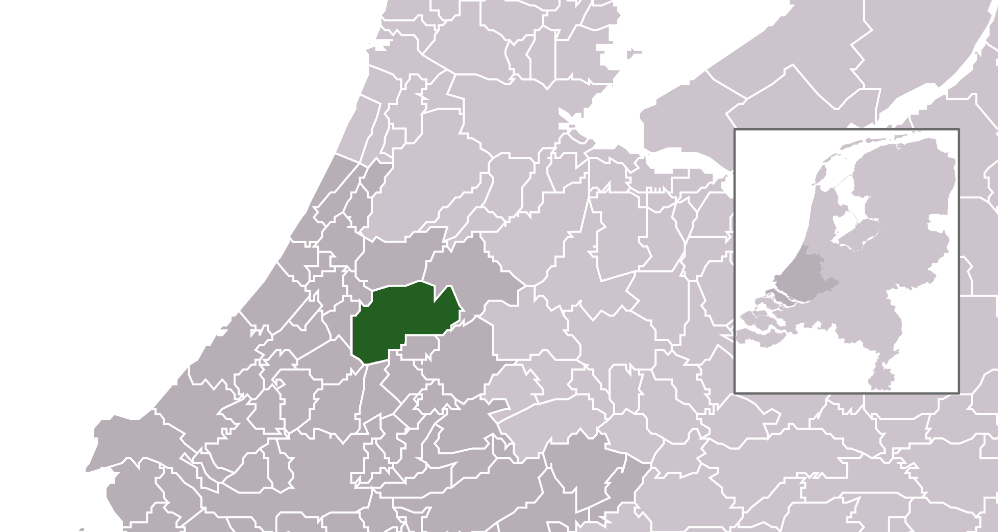
فائل:Map - NL - Municipality code 0484 (2014).png

صفحے کے مندرجات دوسری زبانوں میں قابل قبول نہیں ہیں۔
آزاد دائرۃ المعارف، ویکیپیڈیا سے

اصل فائل(2,000 × 1,067 پکسل، فائل کا حجم: 209 کلوبائٹ، MIME قسم: image/png)

یہ فائل ویکی ذخائر کی ہے اور دیگر منصوبوں کے زیر استعمال ہوسکتی ہے۔ فائل کے صفحہ تعارف پر موجود تعارف ذیل میں موجود ہے۔

تفصیل
  • Location maps for the 441 municipalities in the Netherlands. Boundaries 1/1/2009
  • Automatically generated with script
  • File name contains "Municipality code" (CBS-code) as specified in: [1]
  • Created in svg using coordinate data derived from ESRI data published by Centraal Bureau voor de Statistiek, Voorburg/Heerlen. ([2])
  • Color coding and original design (slightly adpated by me) by user Mtcv (2006/2007) ([3])
  • Updated with the new municipalities of De Ronde Venen, Stichtse Vecht, Bordergraven Reeuwijk and the increased municipality of Alphen a/d Rijn.


© The copyright holder of this file, Centraal Bureau voor de Statistiek, allows anyone to use it for any purpose, provided that the copyright holder is properly attributed. Redistribution, derivative work, commercial use, and all other use is permitted.

VRT Wikimedia

اس تخلیق کو استعمال کرنے کی اجازت دی گئی ہے وثق شدہ بہ مطابق وکی میڈیا آزاد مصدری نظام برائےاجرائے رسید.

یہ دستیاب ہے بصورت ticket #2007041210008226 ان صارفین کے لیے جن کے اکاؤنٹ ہیں آزاد مصدری نظام برائےاجرائے رسید پر . اگر آپ چاہتے ہيں کہ اس کام کو کہيں اور استعمال کریں ، تو ازراہ کرم مطالعہ کریں اس صفحے پر موجود ہدایات کا
COM:REUSE.
اگر آپ کومنز صارف ہیں اور اجازت لینا چاہتے ہیں مصدقہ طور پر تو ایک یادداشتی چٹ لکھ جائیں اس صفحے پر
Volunteer Response Team noticeboard.
Ticket link: https://ticket.wikimedia.org/otrs/index.pl?Action=AgentTicketZoom&TicketNumber=2007041210008226
Find other files from the same ticket: SDC query (SPARQL)

This image is (in part or entirely) based on geographical data from Statistics Netherlands (Centraal Bureau voor de Statistiek). Digital geometry files in ESRI format can be downloaded from their website [4].

In particular, boundary data of statistical districts is based on either the Wijk- en buurtkaart 2005, or the Wijk- en buurtkaart 2003 ("CBS/TOPgrenzen"). Data on localities (bevolkingskernen) are from the publication Bevolkingskernen in Nederland 2001.

Conditions of use (in Dutch):

  • Bij visualisering van gegevens met behulp van het digitale bestand Wijk- en buurtkaart 2005 dient te worden vermeld:
Bron: © 2006, Centraal Bureau voor de Statistiek / Topografische Dienst Kadaster
  • Bij visualisering van gegevens met behulp van het digitale bestand CBS/TOPgrenzen dient te worden vermeld:
Grenzen ondergrond: © 2003, Centraal Bureau voor de Statistiek/Topografische Dienst Kadaster
  • Bij visualisering van gegevens met behulp van het digitale bestand "Bevolkingskernen 2001" dient te worden vermeld:
Bron: © 2005, Centraal Bureau voor de Statistiek

Unless otherwise specified, data on waterways and lakes are from the public domain Digital Chart of the World.

تاریخ
ماخذ own work , using CBS data
مصنف Michiel1972 (talk) 22:47, 24 January 2009 (UTC) and changed (updated) by Supercarwaar
اجازت
(فائل کا دوبارہ استعمال)
Attribution ShareAlike 3.0

{{cc-by-sa-3.0}

Captions

Add a one-line explanation of what this file represents

Items portrayed in this file

عکاسی

1 جنوری 2014

فائل کا تاریخچہ

کسی خاص وقت یا تاریخ میں یہ فائل کیسی نظر آتی تھی، اسے دیکھنے کے لیے اس وقت/تاریخ پر کلک کریں۔

تاریخ/وقتتھمب نیلابعادصارفتبصرہ
رائج الوقت12:29، 2 جنوری 2014ءمورخہ 12:29، 2 جنوری 2014ء کا تھمب نیل2,000 × 1,067 (209 کلوبائٹ)Tristan SurtelUser created page with UploadWizard

درج ذیل صفحہ اس فائل کو استعمال کر رہا ہے:

فائل کا عالمی استعمال

مندرجہ ذیل ویکیوں میں یہ فائل زیر استعمال ہے:

میٹا ڈیٹا