
فائل:Medieval Arab Palestine.jpg
اس نمائش کا حجم: 464 × 599 پکسلز۔ دیگر تصمیمات: 186 × 240 پکسلز | 372 × 480 پکسلز | 824 × 1,064 پکسلز۔
اصل فائل (824 × 1,064 پکسل، فائل کا حجم: 191 کلوبائٹ، MIME قسم: image/jpeg)
خلاصہ
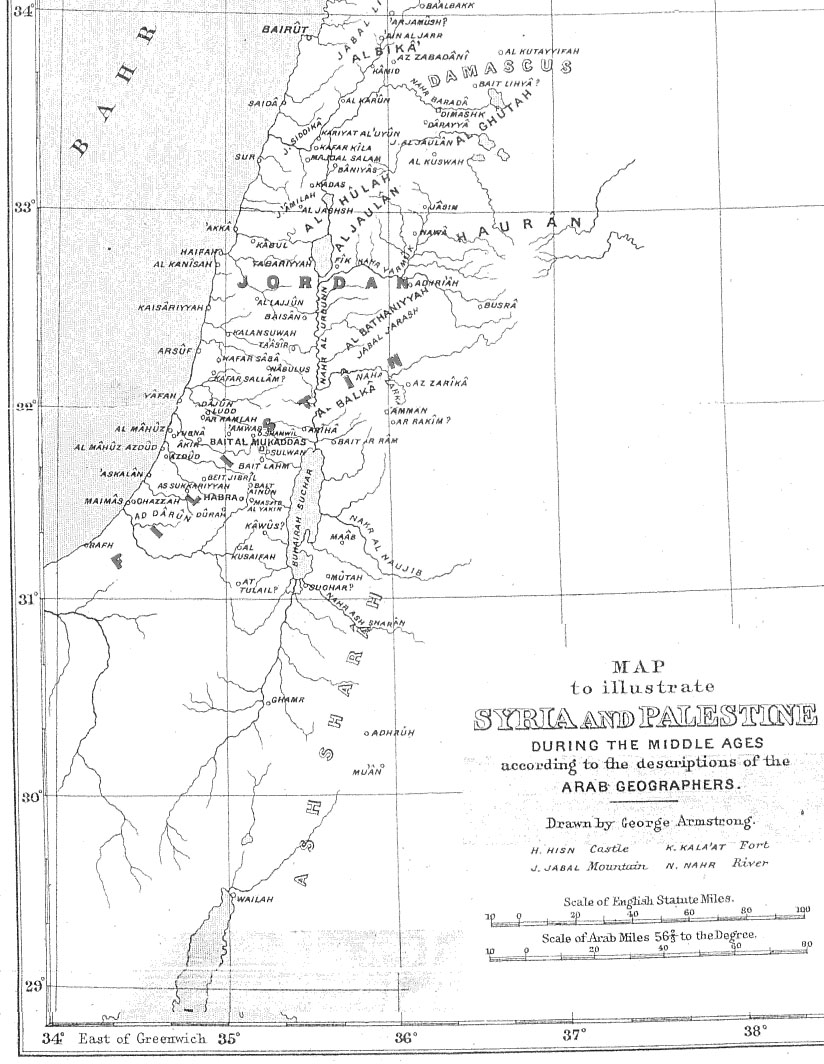
| تفصیل | Map of Palestine during the Middle Ages according to the description of the Arab geographers, drawn by Geo. Armstrong, from Palestine Under the Muslims: A Description of Syria and the Holy Land from AD 650 to 1500, by Guy Le Strange, London 1890 |
| تاریخ | 16 نومبر 2004 (original upload date) |
| ماخذ | Transferred from en.wikipedia to Commons. |
| مصنف |
The original uploader was Mustafaa at انگریزی ویکیپیڈیا. Later versions were uploaded by AnonMoos at en.wikipedia. |
اجازہ کاری
|
This work is in the public domain in its country of origin and other countries and areas where the copyright term is the author's life plus 70 years or fewer. This work is in the public domain in the United States because it was published (or registered with the U.S. Copyright Office) before January 1, 1929. | |
| This file has been identified as being free of known restrictions under copyright law, including all related and neighboring rights. | |
اولین اپلوڈ کا نوشتہ
فائل کی تفصیلات کا اصل صفحہ یہاں تھا۔ درج ذیل تمام صارفین en.wikipedia کے ہیں۔
- 2005-09-21 17:41 AnonMoos 824×1064×8 (195077 bytes) Losslessly cropped image to area of interest
- 2004-11-16 21:36 Mustafaa 979×1072×8 (218293 bytes) Map of Palestine during the Middle Ages according to the description of the Arab geographers, drawn by Geo. Armstrong, from ''Palestine Under the Muslims: A Description of Syria and the Holy Land from AD 650 to 1500'', by Guy Le Strange, London 1890 (henc
فائل کا تاریخچہ
کسی خاص وقت یا تاریخ میں یہ فائل کیسی نظر آتی تھی، اسے دیکھنے کے لیے اس وقت/تاریخ پر کلک کریں۔
| تاریخ/وقت | تھمب نیل | ابعاد | صارف | تبصرہ | |
|---|---|---|---|---|---|
| رائج الوقت | 19:37، 21 جون 2007ء | | 824 × 1,064 (191 کلوبائٹ) | Friðrik Bragi Dýrfjörð | {{Information |Description=Map of Palestine during the Middle Ages according to the description of the Arab geographers, drawn by Geo. Armstrong, from ''Palestine Under the Muslims: A Description of Syria and the Holy Land from AD 650 to 1500'', by Guy Le |
روابط
درج ذیل صفحہ اس فائل کو استعمال کر رہا ہے:
فائل کا عالمی استعمال
مندرجہ ذیل ویکیوں میں یہ فائل زیر استعمال ہے:
- ar.wikipedia.org پر استعمال
- azb.wikipedia.org پر استعمال
- da.wikipedia.org پر استعمال
- en.wikipedia.org پر استعمال
- es.wikipedia.org پر استعمال
- fy.wikipedia.org پر استعمال
- ilo.wikipedia.org پر استعمال
- is.wikipedia.org پر استعمال
- lt.wikipedia.org پر استعمال
- mt.wikipedia.org پر استعمال
- nl.wikipedia.org پر استعمال
- nn.wikipedia.org پر استعمال
- no.wikipedia.org پر استعمال
- pnb.wikipedia.org پر استعمال
- ps.wikipedia.org پر استعمال
- ro.wikipedia.org پر استعمال
- si.wikipedia.org پر استعمال
- sk.wikipedia.org پر استعمال
- uz.wikipedia.org پر استعمال
- zh.wikipedia.org پر استعمال