
فائل:Position of Northland.png
اس سے زیادہ ریزولیوشن دستیاب نہیں۔
Position_of_Northland.png (405 × 590 پکسل، فائل کا حجم: 7 کلوبائٹ، MIME قسم: image/png)

|
This locator map image could be re-created using vector graphics as an SVG file. This has several advantages; see Commons:Media for cleanup for more information. If an SVG form of this image is available, please upload it and afterwards replace this template with
{{vector version available|new image name}}.
It is recommended to name the SVG file “Position of Northland.svg”—then the template Vector version available (or Vva) does not need the new image name parameter. |
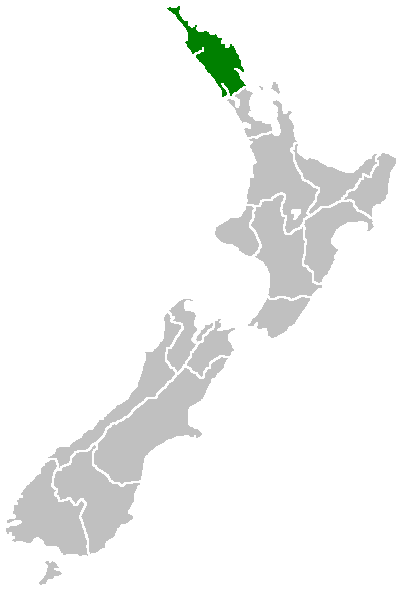
English: Region of New Zealand, position on the map (source:English Wiki)
| |
تخلیق کار Furius, at the انگریزی ویکیپیڈیا project نے اس کام کو دائرہ عام میں شائع کیا ہے جس کا اطلاق عالمی سطح پر ہوتا ہے۔ In case this is not legally possible: |
فائل کا تاریخچہ
کسی خاص وقت یا تاریخ میں یہ فائل کیسی نظر آتی تھی، اسے دیکھنے کے لیے اس وقت/تاریخ پر کلک کریں۔
| تاریخ/وقت | تھمب نیل | ابعاد | صارف | تبصرہ | |
|---|---|---|---|---|---|
| رائج الوقت | 07:40، 27 اپریل 2005ء | | 405 × 590 (7 کلوبائٹ) | Domie~commonswiki | Region of New Zealand, position on the map (source:English Wiki) {{PD}} Category:Maps of New Zealand |
روابط
درج ذیل صفحہ اس فائل کو استعمال کر رہا ہے:
فائل کا عالمی استعمال
مندرجہ ذیل ویکیوں میں یہ فائل زیر استعمال ہے:
- af.wikipedia.org پر استعمال
- ceb.wikipedia.org پر استعمال
- de.wikivoyage.org پر استعمال
- en.wikipedia.org پر استعمال
- Horeke basalts
- Jellicoe Channel
- Cavalli Islands
- Cape Maria van Diemen
- Mount Hikurangi (Northland)
- Dargaville Aerodrome
- Aroha Island
- Aorangaia Island
- Araara Island
- Arakaninihi Island
- Template:Northland-geo-stub
- Maungataniwha Range
- Ngawha geothermal field
- Towai
- Taurikura
- Mount Manaia
- Omanaia
- Oromahoe
- Umawera
- Whangārei Falls
- Horahora, Whangārei
- Kokopu, New Zealand
- Titoki, New Zealand
- Pakotai
- Poroti
- Purua
- Tauraroa
- Rainbow Falls (Waianiwaniwa)
- Bulrush Lake (Northland)
- Half Mile Lagoon
- Lake Half
- Lake Humuhumu
- Lake Kahuparere
- Lake Kaiwai
- Lake Kanono
- Lake Kapoai
- Lake Karaka
- Lake Karoro / Mathews
- Lake Kihona
- Lake Manuwai
- Lake Mokeno
- Lake Morehurehu
- Lake Ngakapua
- Lake Ngakeketa
- Lake Ngatu
- Lake Ora
- Lake Otapuiti
اس فائل کا مزید عالمی استعمال دیکھیے۔