
فائل:Mexico states map small.png
اس سے زیادہ ریزولیوشن دستیاب نہیں۔
Mexico_states_map_small.png (450 × 312 پکسل، فائل کا حجم: 72 کلوبائٹ، MIME قسم: image/png)

|
This locator map image could be re-created using vector graphics as an SVG file. This has several advantages; see Commons:Media for cleanup for more information. If an SVG form of this image is available, please upload it and afterwards replace this template with
{{vector version available|new image name}}.
It is recommended to name the SVG file “Mexico states map small.svg”—then the template Vector version available (or Vva) does not need the new image name parameter. |
خلاصہ
| تفصیل |
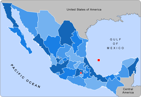
English: Small map of Mexico in use in the clickable map in various Wikipedias |
| ماخذ | Alex Covarrubias |
| مصنف | AlexCovarrubias |
اجازہ کاری
| تخلیق کار AlexCovarrubias at انگریزی ویکیپیڈیا نے اس کام کو دائرہ عام میں شائع کیا ہے جس کا اطلاق عالمی سطح پر ہوتا ہے۔ بعض ملکوں میں یہ قانونی طور پر شاید ممکن نہ ہو؛ اگر ایسا ہے تو: AlexCovarrubias ہر ایک کو کسی بھی مقصد کے لیے بغیر کسی شرط کے اس تصویر کے استعمال کا حق تفویض کرتا/کرتی ہے، بجز اس صورت کے جس میں کوئی قانونی رکاوٹ موجود ہو۔ |
اولین اپلوڈ کا نوشتہ
فائل کی تفصیلات کا اصل صفحہ یہاں تھا۔ درج ذیل تمام صارفین en.wikipedia کے ہیں۔
- 2007-09-28 04:55 AlexCovarrubias 450×312× (74224 bytes) Changed border color (same used by Wikipedia thumbs)
- 2007-09-28 04:52 AlexCovarrubias 450×312× (73917 bytes) Rounded borders
- 2007-03-16 17:35 AlexCovarrubias 450×312× (65230 bytes)
- 2007-03-16 17:28 AlexCovarrubias 450×312× (69110 bytes) == Summary == Political division of Mexico. Map created for the [[Template:Mexico Labelled Map small]]. Designed by [[User:AlexCovarrubias|Alex Covarrubias]] == Licensing == {{PD-self}}
فائل کا تاریخچہ
کسی خاص وقت یا تاریخ میں یہ فائل کیسی نظر آتی تھی، اسے دیکھنے کے لیے اس وقت/تاریخ پر کلک کریں۔
| تاریخ/وقت | تھمب نیل | ابعاد | صارف | تبصرہ | |
|---|---|---|---|---|---|
| رائج الوقت | 17:55، 23 اگست 2009ء | | 450 × 312 (72 کلوبائٹ) | Feydey | update |
| 22:13، 27 اگست 2007ء |  | 450 × 312 (64 کلوبائٹ) | AlexCovarrubias | {{Information |Description=Small map of Mexico in use in the clickable map in various Wikipedias |Source=Alex Covarrubias |Date= |Author= AlexCovarrubias }} |
روابط
درج ذیل 4 صفحات اس فائل کو استعمال کر رہے ہیں:
فائل کا عالمی استعمال
مندرجہ ذیل ویکیوں میں یہ فائل زیر استعمال ہے:
- an.wikipedia.org پر استعمال
- bn.wikipedia.org پر استعمال
- ca.wikipedia.org پر استعمال
- en.wikipedia.org پر استعمال
- hu.wikipedia.org پر استعمال
- pnb.wikipedia.org پر استعمال
- pt.wikipedia.org پر استعمال
- ta.wikipedia.org پر استعمال
- vi.wikipedia.org پر استعمال
- zh.wikipedia.org پر استعمال