
فائل:Adıyaman districts.png
اصل فائل (1,056 × 816 پکسل، فائل کا حجم: 20 کلوبائٹ، MIME قسم: image/png)

|
This map has been uploaded by Electionworld from en.wikipedia.org to enable the |
خلاصہ
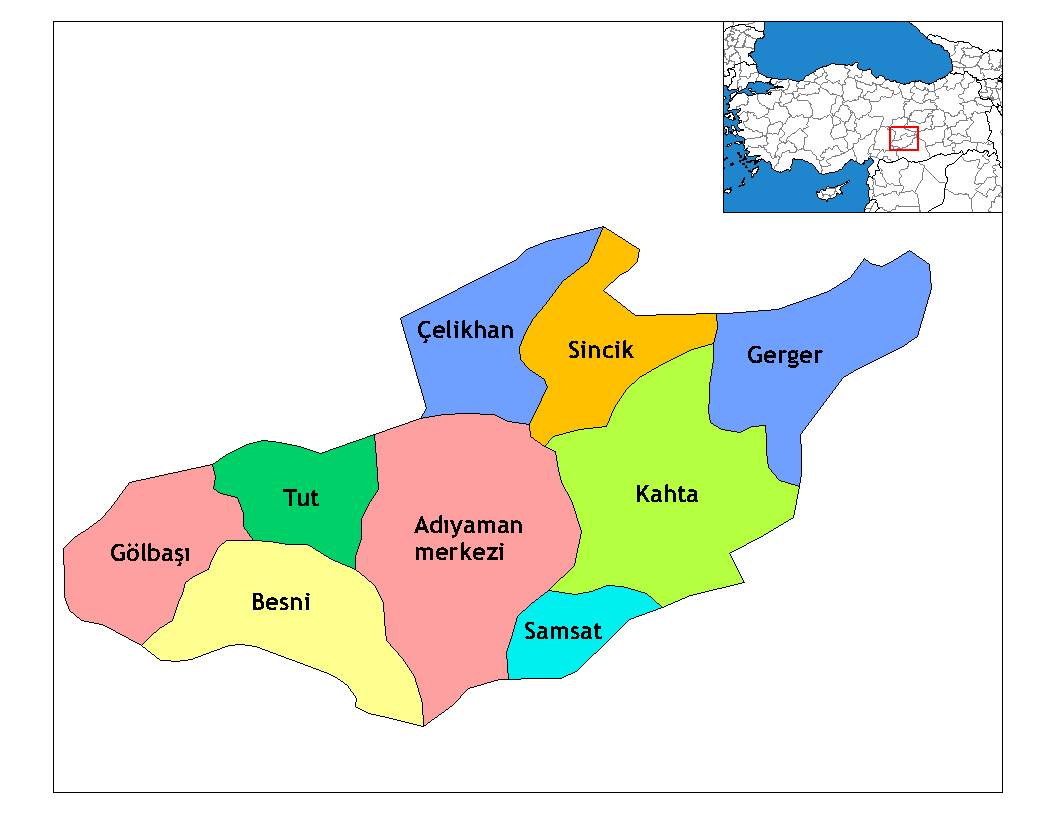
Map of the districts of Adıyaman province in Turkey. Created by Rarelibra 22:15, 13 November 2006 (UTC) for public domain use, using MapInfo Professional v8.5 and various mapping resources. Edited by One Homo Sapiens Corrected text where İ,Ş,ı,ğ,or ş occurs in name. Source: [statoids-com]. Increased font size and enhanced color differences among adjacent districts.

|
This locator map image could be re-created using vector graphics as an SVG file. This has several advantages; see Commons:Media for cleanup for more information. If an SVG form of this image is available, please upload it and afterwards replace this template with
{{vector version available|new image name}}.
It is recommended to name the SVG file “Adıyaman districts.svg”—then the template Vector version available (or Vva) does not need the new image name parameter. |
اجازہ کاری
| تخلیق کار Rarelibra نے اس کام کو دائرہ عام میں شائع کیا ہے جس کا اطلاق عالمی سطح پر ہوتا ہے۔ بعض ملکوں میں یہ قانونی طور پر شاید ممکن نہ ہو؛ اگر ایسا ہے تو: |
Renamed by Denizz
فائل کا تاریخچہ
کسی خاص وقت یا تاریخ میں یہ فائل کیسی نظر آتی تھی، اسے دیکھنے کے لیے اس وقت/تاریخ پر کلک کریں۔
| تاریخ/وقت | تھمب نیل | ابعاد | صارف | تبصرہ | |
|---|---|---|---|---|---|
| رائج الوقت | 19:54، 28 دسمبر 2008ء | | 1,056 × 816 (20 کلوبائٹ) | One Homo Sapiens | Corrected text where İ,Ş,ı,ğ,or ş occurs in name. Source: [statoids-com]. Increased font size and enhanced color differences among adjacent districts. |
| 05:14، 31 مارچ 2007ء |  | 1,056 × 816 (25 کلوبائٹ) | Denizz~commonswiki | {{ew|en|Rarelibra}} == Summary == Map of the districts of Adana province in Turkey. Created by Rarelibra 22:15, 13 November 2006 (UTC) for public domain use, using MapInfo Professional v8.5 and various mapping resources. == Licensing = |
روابط
درج ذیل 12 صفحات اس فائل کو استعمال کر رہے ہیں:
فائل کا عالمی استعمال
مندرجہ ذیل ویکیوں میں یہ فائل زیر استعمال ہے:
- ast.wikipedia.org پر استعمال
- azb.wikipedia.org پر استعمال
- az.wikipedia.org پر استعمال
- bn.wikipedia.org پر استعمال
- br.wikipedia.org پر استعمال
- ca.wikipedia.org پر استعمال
- cs.wikipedia.org پر استعمال
- de.wikipedia.org پر استعمال
- diq.wikipedia.org پر استعمال
- Aldûş
- Eskiköy
- Sarıyaprak
- Üçgöz
- Akpınar, Bêsni
- Aktepe
- Akyazı, Bêsni
- Alıçlı
- Alişar
- Aşağıçöplü
- Aşağısöğütlü
- Başlı
- Bereketli
- Beşkoz
- Çaykaya
- Çamuşçu
- Çamlıca
- Burunçayır
- Boncuk
- Beşyol
- Karagüveç
- Kuzevleri
- Oyratlı
- Tokar
- Qezê Tırkiya
- Çilboğaz, Bêsni
- Geçitli, Bêsni
- Kızılin, Bêsni
- Yelbastı, Bêsni
- Uzunkuyu, Bêsni
- Konuklu, Bêsni
اس فائل کا مزید عالمی استعمال دیکھیے۔