
فائل:Cumberland Basin looking North.jpg

اس نمائش کا حجم: 800 × 533 پکسلز۔ دیگر تصمیمات: 320 × 213 پکسلز | 640 × 427 پکسلز | 1,024 × 683 پکسلز | 1,280 × 853 پکسلز | 2,560 × 1,707 پکسلز | 4,896 × 3,264 پکسلز۔
اصل فائل (4,896 × 3,264 پکسل، فائل کا حجم: 9.83 MB، MIME قسم: image/jpeg)
خلاصہ
| تفصیل |
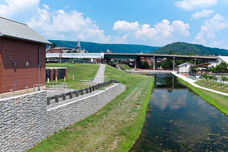
English: This is the basin at the end of the Chesapeake and Ohio Canal, looking north toward the end of the canal. Guard lock #8 is at the end of the channel on the left. Interstate Highway 68 / US 40 / US 220 runs on that bridge in the background. The Western Maryland Station is just visiable (brick building) beyond the highway bridge. Shops at Canal Place are to the right of the basin. Potomac River is to the left, just beyond the flood wall. |
| ماخذ | ذاتی کام |
| مصنف | Bonnachoven |
اجازہ کاری
میں اس تخلیقی کام کے حقوق کا مالک ہوں اور اسے مندرجہ ذیل اجازت نامے کے تحت شائع کرتا ہوں:
| This file is made available under the Creative Commons CC0 1.0 Universal Public Domain Dedication. | |
| The person who associated a work with this deed has dedicated the work to the public domain by waiving all of their rights to the work worldwide under copyright law, including all related and neighboring rights, to the extent allowed by law. You can copy, modify, distribute and perform the work, even for commercial purposes, all without asking permission.
|
فائل کا تاریخچہ
کسی خاص وقت یا تاریخ میں یہ فائل کیسی نظر آتی تھی، اسے دیکھنے کے لیے اس وقت/تاریخ پر کلک کریں۔
| تاریخ/وقت | تھمب نیل | ابعاد | صارف | تبصرہ | |
|---|---|---|---|---|---|
| رائج الوقت | 10:01، 20 جولائی 2013ء | | 4,896 × 3,264 (9.83 MB) | Bonnachoven | {{Information |Description ={{en|1=This is the basin at the end of the Chesapeake and Ohio Canal, looking north toward the end of the canal. Guard lock #8 is at the end of the channel on the left. Interstate Highway 68 / US 40 / US 220 runs on that ... |
روابط
درج ذیل صفحہ اس فائل کو استعمال کر رہا ہے:
فائل کا عالمی استعمال
مندرجہ ذیل ویکیوں میں یہ فائل زیر استعمال ہے:
- ceb.wikipedia.org پر استعمال
- en.wikipedia.org پر استعمال
- en.wikivoyage.org پر استعمال
- he.wikivoyage.org پر استعمال
- ja.wikipedia.org پر استعمال
- pl.wikipedia.org پر استعمال
- pnb.wikipedia.org پر استعمال
- sv.wikipedia.org پر استعمال
- www.wikidata.org پر استعمال
- zh.wikipedia.org پر استعمال