
فائل:German Empire 1937 adm location map.svg

اصل فائل (ایس وی جی فائل، ابعاد 1,425 × 1,133 پکسل، فائل کا حجم: 763 کلوبائٹ)
خلاصہ
| تفصیل |
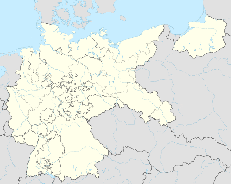
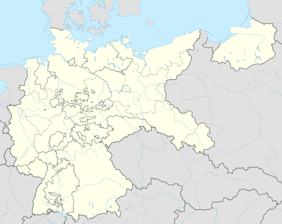
Deutsch: Positionskarte für das Deutsche Reich, 1937
English: Location map of the German Reich (Germany), 1937
|
||||||||||||
| تاریخ | |||||||||||||
| ماخذ |
Own work using:
|
||||||||||||
| مصنف | NordNordWest | ||||||||||||

|
This map has been made or improved in the German Kartenwerkstatt (Map Lab). You can propose maps to improve as well.
|
اجازہ کاری
Usage of this file with:

explanatory notes: Legally binding is only the full legalcode. For a free usage I recommend to respect the following licence conditions:
1. Provide my name as given above: NordNordWest,
2. a copy of, or the URI for, the applicable license: https://creativecommons.org/licenses/by-sa/3.0/de/legalcode,
3. the title of the work,
4. in the case of an adaptation, a credit identifying the use of the work in the adaptation.
This license and the rights granted hereunder will terminate automatically upon any breach by you of the terms of this license. Any of the above conditions can be waived if you get permission from the copyright holder. If you have questions or wish differing conditions, please contact me through nnwest or my discussion page ![]() t-online.de
t-online.de
- آپ آزاد ہیں:
- شیئر کرنے – کام کو نقل، تقسیم یا منتقل کرنے کے لیے
- ریمکس کے لیے – کام منبطق کرنے کے لیے
- مندرجہ ذیل شرائط کے تحت:
- انتساب – آپ کو اس کام کا انتساب مصنف یا اجازت دہندہ کے بتائے گئے طریقہ کے مطابق دینا ہوگا (تاہم یہ انتساب اس طرح نہیں ہونا چاہیے کہ اسے دیکھ کر ایسا محسوس ہو کہ اصل مصنف یا اجازت دہندہ آپ کے یا آپ کے ذریعہ اس کام کے استعمال کرنے کے حامی ہیں)۔
- یکساں شراکت – اگر آپ اس کام میں کوئی تبدیلی یا ترمیم کرتے ہیں یا اس کام پر مبنی کچھ نیا بناتے ہیں تو اسے بھی آپ اسی یا اس جیسے کسی اجازت نامے کے تحت شائع کر سکتے ہیں۔

فائل کا تاریخچہ
کسی خاص وقت یا تاریخ میں یہ فائل کیسی نظر آتی تھی، اسے دیکھنے کے لیے اس وقت/تاریخ پر کلک کریں۔
| تاریخ/وقت | تھمب نیل | ابعاد | صارف | تبصرہ | |
|---|---|---|---|---|---|
| رائج الوقت | 18:01، 15 جون 2015ء | | 1,425 × 1,133 (763 کلوبائٹ) | NordNordWest | c |
| 21:36، 13 جون 2015ء |  | 1,425 × 1,133 (763 کلوبائٹ) | NordNordWest | == {{int:filedesc}} == {{Information |Description= {{de|1=Positionskarte für das Deutsche Reich 1937}} {{en|1=Location map of the German Empire 1937}} {{Location map series N |stretching=160 |top=56.0 |bottom=47.2 |left=5.5 |right=23.2 }} |Source={{Ow... |
روابط
درج ذیل صفحہ اس فائل کو استعمال کر رہا ہے:
فائل کا عالمی استعمال
مندرجہ ذیل ویکیوں میں یہ فائل زیر استعمال ہے:
- ar.wikipedia.org پر استعمال
- az.wikipedia.org پر استعمال
- ba.wikipedia.org پر استعمال
- ca.wikipedia.org پر استعمال
- ceb.wikipedia.org پر استعمال
- da.wikipedia.org پر استعمال
- de.wikipedia.org پر استعمال
- Harburg-Wilhelmsburg
- Tannenberg-Denkmal
- Reichs-Rundfunk-Gesellschaft
- Benutzer Diskussion:Spischot
- Wikipedia:Kartenwerkstatt/Positionskarten/Europa
- Geschichte des Hörfunks in Deutschland
- Vorlage:Positionskarte Deutsches Reich
- Benutzer:Scialfa/Muna
- Benutzer:Joellewi/Standorte in Deutschland
- Wikipedia:Kartenwerkstatt/Archiv/2016-09
- Wikipedia Diskussion:Kartenwerkstatt/Archiv7
- Benutzer Diskussion:Markus Schulenburg/Infobox historischer Landkreis
- en.wikipedia.org پر استعمال
- 20 July plot
- Bergen-Belsen concentration camp
- Gleiwitz incident
- Dachau concentration camp
- Mittelbau-Dora concentration camp
- Nazi concentration camps
- Wolf's Lair
- Marlag und Milag Nord
- Stalag Luft III
- Stalag II-B
- Stalag Luft 7
- Oflag VII-A Murnau
- Oflag IV-B Königstein
- Stalag III-C
- Stalag Luft IV
- Oflag II-D
- 4th Panzer Army
- Oflag XIII-B
- Stalag VI-B
- Stalag III-A
- Stalags XI-B, XI-D, and 357
- Stalag IX-B
- Stalag VIII-A
- Stalag IV-G
- Mittelwerk
- Battle of Bautzen (1945)
- Friesack Camp
- Stalag VIII-B
- Task Force Baum
- Stalag IV-B
اس فائل کا مزید عالمی استعمال دیکھیے۔