
فائل:National-atlas-blank-state-outlines.png
اس سے زیادہ ریزولیوشن دستیاب نہیں۔
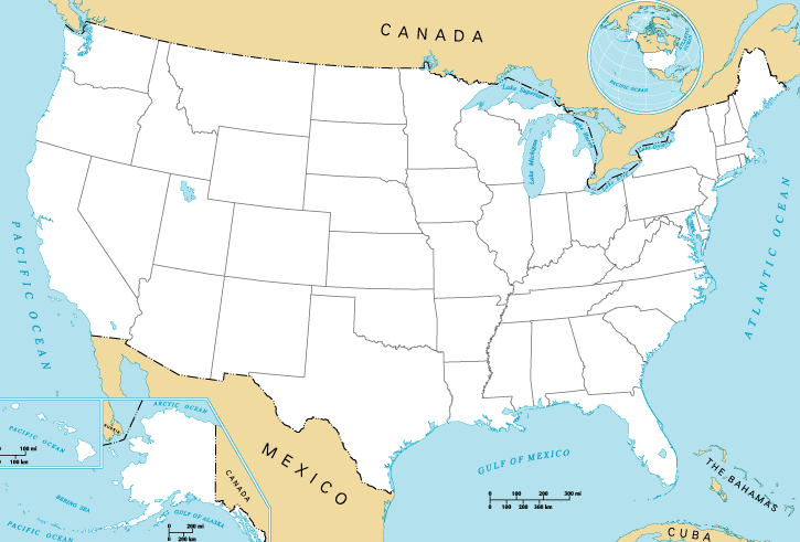
National-atlas-blank-state-outlines.png (725 × 491 پکسل، فائل کا حجم: 34 کلوبائٹ، MIME قسم: image/png)

|
This map image could be re-created using vector graphics as an SVG file. This has several advantages; see Commons:Media for cleanup for more information. If an SVG form of this image is available, please upload it and afterwards replace this template with
{{vector version available|new image name}}.
It is recommended to name the SVG file “National-atlas-blank-state-outlines.svg”—then the template Vector version available (or Vva) does not need the new image name parameter. |
خلاصہ
| تفصیل |
English: Map of the United States of America. |
| ماخذ | National Atlas of the United States. |
| مصنف | National Atlas of the United States. |
| دوسرے نسخے | Derivative works of this file: 13-colonies-present-boundaries.png |
اجازہ کاری
This map was obtained from an edition of the National Atlas of the United States. Like almost all works of the U.S. federal government, works from the National Atlas are in the public domain in the United States.
Online access: NationalAtlas.gov | 1970 print edition: Library of Congress, Perry-Castañeda Library
|
اولین اپلوڈ کا نوشتہ
فائل کی تفصیلات کا اصل صفحہ یہاں تھا۔ درج ذیل تمام صارفین en.wikipedia کے ہیں۔
- 2004-10-13 21:41 Jengod 758×584× (119202 bytes) {{PD-USGov}}
فائل کا تاریخچہ
کسی خاص وقت یا تاریخ میں یہ فائل کیسی نظر آتی تھی، اسے دیکھنے کے لیے اس وقت/تاریخ پر کلک کریں۔
| تاریخ/وقت | تھمب نیل | ابعاد | صارف | تبصرہ | |
|---|---|---|---|---|---|
| رائج الوقت | 16:27، 31 مئی 2015ء | | 725 × 491 (34 کلوبائٹ) | Cmdrjameson | Compressed with pngout. Reduced by 74kB (68% decrease). |
| 00:47، 20 اپریل 2013ء |  | 725 × 491 (109 کلوبائٹ) | Jay8g | cropped | |
| 06:54، 29 جنوری 2011ء |  | 758 × 584 (116 کلوبائٹ) | File Upload Bot (Magnus Manske) | {{BotMoveToCommons|en.wikipedia|year={{subst:CURRENTYEAR}}|month={{subst:CURRENTMONTHNAME}}|day={{subst:CURRENTDAY}}}} {{Information |Description={{en|en:Category:United States maps}} |Source=Transferred from [http://en.wikipedia.org en.wikipedia]; |
روابط
درج ذیل صفحہ اس فائل کو استعمال کر رہا ہے:
فائل کا عالمی استعمال
مندرجہ ذیل ویکیوں میں یہ فائل زیر استعمال ہے:
- ar.wikipedia.org پر استعمال
- bg.wikipedia.org پر استعمال
- da.wikipedia.org پر استعمال
- de.wikipedia.org پر استعمال
- en.wikipedia.org پر استعمال
- fa.wikipedia.org پر استعمال
- fo.wikipedia.org پر استعمال
- fy.wikipedia.org پر استعمال
- id.wikipedia.org پر استعمال
- ko.wikipedia.org پر استعمال
- lv.wikipedia.org پر استعمال
- ms.wikipedia.org پر استعمال
- my.wikipedia.org پر استعمال
- no.wikipedia.org پر استعمال
- pl.wikipedia.org پر استعمال
- ro.wikipedia.org پر استعمال
- sco.wikipedia.org پر استعمال
- simple.wikipedia.org پر استعمال
- sl.wikipedia.org پر استعمال
- sv.wikipedia.org پر استعمال
- ta.wikipedia.org پر استعمال
- vi.wikipedia.org پر استعمال
- zh-yue.wikipedia.org پر استعمال