
فائل:Txu-pclmaps-topo-us-saint lawrence-1970.jpg
اس نمائش کا حجم: 778 × 599 پکسلز۔ دیگر تصمیمات: 312 × 240 پکسلز | 623 × 480 پکسلز | 997 × 768 پکسلز | 1,280 × 986 پکسلز | 2,560 × 1,972 پکسلز | 5,957 × 4,589 پکسلز۔
اصل فائل (5,957 × 4,589 پکسل، فائل کا حجم: 4.29 MB، MIME قسم: image/jpeg)
خلاصہ
| تفصیل |
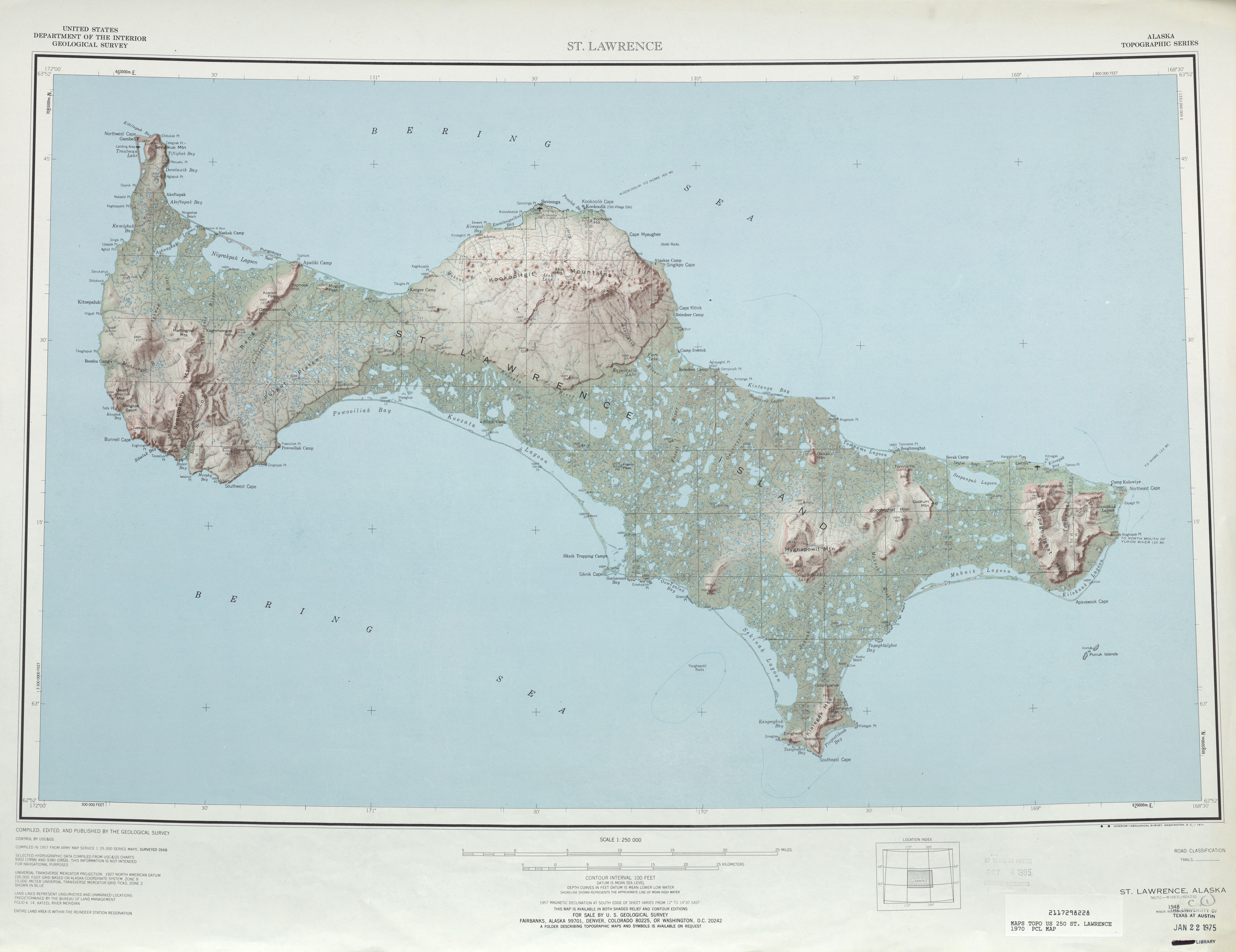
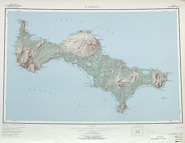
English: map sheet of Saint Lawrence Island, Alaska |
| تاریخ | |
| ماخذ | http://www.lib.utexas.edu/maps/topo/250k/txu-pclmaps-topo-us-saint_lawrence-1970.jpg |
| مصنف | US Geological Survey |
| دوسرے نسخے |
.jpg)
اجازہ کاری
This image is in the public domain in the United States because it only contains materials that originally came from the United States Geological Survey, an agency of the United States Department of the Interior. For more information, see the official USGS copyright policy.
|
فائل کا تاریخچہ
کسی خاص وقت یا تاریخ میں یہ فائل کیسی نظر آتی تھی، اسے دیکھنے کے لیے اس وقت/تاریخ پر کلک کریں۔
| تاریخ/وقت | تھمب نیل | ابعاد | صارف | تبصرہ | |
|---|---|---|---|---|---|
| رائج الوقت | 21:45، 1 اکتوبر 2010ء | | 5,957 × 4,589 (4.29 MB) | Ratzer | {{Information |Description={{en|1=map sheet of Saint Lawrence Island, Alaska}} |Source=http://www.lib.utexas.edu/maps/topo/250k/txu-pclmaps-topo-us-saint_lawrence-1970.jpg |Author=US Geological Survey |Date=1970 |Permission= |other_versions= }} [[Categor |
روابط
اس فائل سے مربوط کوئی صفحہ موجود نہیں ہے۔
فائل کا عالمی استعمال
مندرجہ ذیل ویکیوں میں یہ فائل زیر استعمال ہے:
- ar.wikipedia.org پر استعمال
- be.wikipedia.org پر استعمال
- bg.wikipedia.org پر استعمال
- ca.wikipedia.org پر استعمال
- ceb.wikipedia.org پر استعمال
- cs.wikipedia.org پر استعمال
- da.wikipedia.org پر استعمال
- de.wikipedia.org پر استعمال
- el.wikipedia.org پر استعمال
- en.wikipedia.org پر استعمال
- eo.wikipedia.org پر استعمال
- es.wikipedia.org پر استعمال
- eu.wikipedia.org پر استعمال
- fa.wikipedia.org پر استعمال
- fr.wikipedia.org پر استعمال
- fy.wikipedia.org پر استعمال
- he.wikipedia.org پر استعمال
- id.wikipedia.org پر استعمال
- incubator.wikimedia.org پر استعمال
- it.wikipedia.org پر استعمال
- ja.wikipedia.org پر استعمال
- no.wikipedia.org پر استعمال
- pl.wikipedia.org پر استعمال
- ru.wikipedia.org پر استعمال
- sco.wikipedia.org پر استعمال
- simple.wikipedia.org پر استعمال
- th.wikipedia.org پر استعمال
- www.wikidata.org پر استعمال
- zh.wikipedia.org پر استعمال