
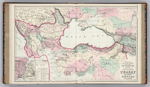
فائل:Gray's New Map of the Countries Surrounding the Black Sea Comprising European Turkey, Southern Russia, Asia Minor, Etc. (inset) The Bosphorus and Vicinity. Copyright, 1877, by O.W. Gray & Son.jpg

اس نمائش کا حجم: 800 × 465 پکسلز۔ دیگر تصمیمات: 320 × 186 پکسلز | 640 × 372 پکسلز | 1,024 × 595 پکسلز | 1,280 × 744 پکسلز | 2,560 × 1,487 پکسلز | 11,607 × 6,744 پکسلز۔
اصل فائل (11,607 × 6,744 پکسل، فائل کا حجم: 12.62 MB، MIME قسم: image/jpeg)
_The_Bosphorus_and_Vicinity._Copyright,_1877,_by_O.W._Gray_%26_Son.jpg)
| Warning | The original file is very high-resolution. It might not load properly or could cause your browser to freeze when opened at full size. |
|---|
خلاصہ
| تفصیل |
English: * Author: Ormando Willis Gray
|
| تاریخ | |
| ماخذ | Gray's New Map of the Countries Surrounding the Black Sea Comprising European Turkey, Southern Russia, Asia Minor, Etc. (inset) The Bosphorus and Vicinity. Copyright, 1877, by O.W. Gray & Son. - David Rumsey Historical Map Collection |
| مصنف | Ormando Willis Gray |
اجازہ کاری
This media file is in the public domain in the United States. This applies to U.S. works where the copyright has expired, often because its first publication occurred prior to January 1, 1929, and if not then due to lack of notice or renewal. See this page for further explanation.
|
 | |
 |
This image might not be in the public domain outside of the United States; this especially applies in the countries and areas that do not apply the rule of the shorter term for US works, such as Canada, Mainland China (not Hong Kong or Macao), Germany, Mexico, and Switzerland. The creator and year of publication are essential information and must be provided. See Wikipedia:Public domain and Wikipedia:Copyrights for more details.
|
فائل کا تاریخچہ
کسی خاص وقت یا تاریخ میں یہ فائل کیسی نظر آتی تھی، اسے دیکھنے کے لیے اس وقت/تاریخ پر کلک کریں۔
| تاریخ/وقت | تھمب نیل | ابعاد | صارف | تبصرہ | |
|---|---|---|---|---|---|
| رائج الوقت | 02:36، 30 ستمبر 2011ء | | 11,607 × 6,744 (12.62 MB) | Underlying lk |
روابط
درج ذیل صفحہ اس فائل کو استعمال کر رہا ہے:
فائل کا عالمی استعمال
مندرجہ ذیل ویکیوں میں یہ فائل زیر استعمال ہے:
- ar.wikipedia.org پر استعمال
- arz.wikipedia.org پر استعمال
- cy.wikipedia.org پر استعمال
- en.wikipedia.org پر استعمال
- fr.wikipedia.org پر استعمال
- id.wikipedia.org پر استعمال
- it.wikipedia.org پر استعمال
- ja.wikipedia.org پر استعمال
- ms.wikipedia.org پر استعمال
- pnb.wikipedia.org پر استعمال
- ro.wikipedia.org پر استعمال
- zh.wikipedia.org پر استعمال
_The_Bosphorus_and_Vicinity._Copyright,_1877,_by_O.W._Gray_%26_Son.jpg)